In today’s rapidly evolving geospatial industry, SLAM LiDAR technology has become one of the most advanced solutions for 3D mapping, surveying, and spatial data collection. To meet the growing demand for skilled professionals, Lctss (Land Coordinates Technology) proudly offers the Certified SLAM LiDAR Professional Program — Learn Advanced 3D Mapping, a comprehensive training and certification course designed for students, surveyors, engineers, GIS professionals, and industry experts.
This professional certification program provides hands-on training in SLAM LiDAR surveying, mobile mapping, point cloud processing, 3D modeling, and advanced geospatial applications. Whether you are looking to upgrade your skills or start a career in modern surveying technology, this course gives you the practical knowledge required to excel in the field.
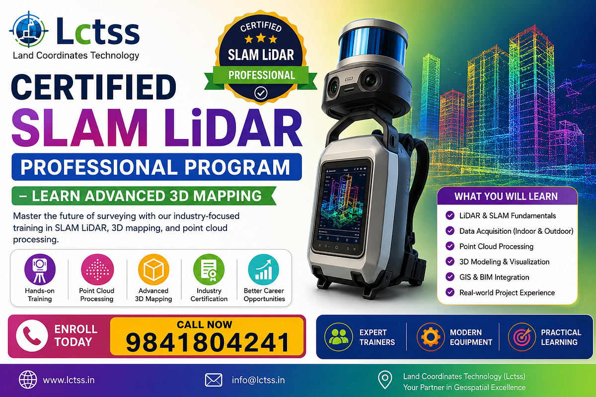
What is SLAM LiDAR?
SLAM (Simultaneous Localization and Mapping) is an advanced technology that allows LiDAR systems to map environments while simultaneously determining their location. Unlike traditional surveying methods, SLAM LiDAR enables rapid data capture in indoor, outdoor, underground, and GPS-denied environments.
Industries such as construction, infrastructure, mining, real estate, smart cities, utilities, heritage documentation, and transportation increasingly rely on SLAM LiDAR for accurate and efficient mapping.
Why Choose the Certified SLAM LiDAR Professional Program?
The Certified SLAM LiDAR Professional Program — Learn Advanced 3D Mapping offered by Lctss is designed to provide industry-ready skills through a blend of theory and practical training.
Key Benefits
Hands-on training with modern SLAM LiDAR equipment
Learn advanced 3D mapping techniques
Point cloud processing and visualization
Industry-recognized certification
Real-world project experience
Expert guidance from experienced professionals
Career opportunities in high-demand geospatial industries
Course Modules
1. Introduction to LiDAR & SLAM Technology
- Fundamentals of LiDAR
- Principles of SLAM
- Types of LiDAR systems
- Applications of SLAM LiDAR
2. SLAM LiDAR Data Acquisition
- Field setup and calibration
- Indoor and outdoor scanning
- Mobile mapping workflows
- Best practices for data capture
3. Point Cloud Processing
- Data import and registration
- Noise removal and filtering
- Point cloud optimization
- Quality assessment
4. Advanced 3D Mapping
- 3D model generation
- Surface and terrain modeling
- BIM integration
- Digital twin workflows
5. GIS & Visualization
- Georeferencing techniques
- GIS integration
- Visualization and rendering
- Reporting and deliverables
Who Can Join This Program?
The Certified SLAM LiDAR Professional Program is suitable for:
- Civil Engineers
- Land Surveyors
- GIS Professionals
- Architects
- Construction Managers
- Mining Professional
- Drone Survey Operators
- Students seeking careers in geospatial technology
Career Opportunities After Certification
After completing the Learn Advanced 3D Mapping program, participants can explore roles such as:
- SLAM LiDAR Surveyor
- 3D Mapping Specialist
- Point Cloud Analyst
- GIS & Remote Sensing Professional
- BIM & Digital Twin Specialist
- Infrastructure Mapping Engineer
- Drone & LiDAR Data Processor
Why Lctss (Land Coordinates Technology)?
Lctss is a trusted name in surveying, geospatial technology, LiDAR mapping, drone surveys, and advanced training programs. Our mission is to equip professionals with the latest industry skills through practical, job-oriented training.
With modern equipment, experienced trainers, and real project exposure, Lctss ensures that every participant gains confidence in handling SLAM LiDAR and advanced 3D mapping projects.
Enroll Today
Take the next step in your geospatial career with the Certified SLAM LiDAR Professional Program — Learn Advanced 3D Mapping.
Join Lctss and become a certified professional in SLAM LiDAR, 3D mapping, point cloud processing, and modern geospatial technologies.